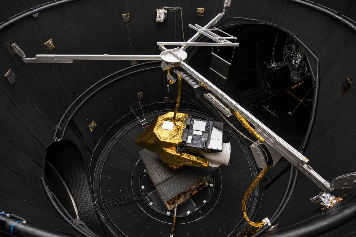
Europe's next-generation weather satellite, Meteosat Third Generation Imager 2 (MTG-I2), has transmitted its first images, offering a glimpse of a future where weather updates for Europe and North Africa arrive every 2.5 minutes. The European Space Agency (ESA) released the preview on November 6, marking a significant step toward a faster regional weather service, although calibration and validation work is still ongoing.
Once operational, MTG-I2 will complement its predecessor, MTG-I1, which captures a full view of the Earth's disc every 10 minutes. MTG-I2, however, is optimized for a smaller region covering Europe and North Africa, enabling a rapid 2.5-minute scan cycle. This translates to 24 regional scans per hour compared to six full-disc scans from MTG-I1—a fourfold increase in sampling frequency. Such a boost in temporal resolution is crucial for tracking fast-developing weather phenomena like convective storms and fog.
The initial 45-hour preview sequence, starting November 3, demonstrated the satellite's capabilities. It captured fog and low cloud over central Europe, developing convective clouds over the Mediterranean, and counter-moving cloud layers over the Atlantic. The imagery also detected smoke from a wildfire in central Portugal, highlighting the instrument's ability to monitor rapidly changing environmental events.
MTG-I2 carries the Flexible Combined Imager (FCI), which boasts 16 spectral channels compared to 12 on the previous SEVIRI instrument. The additional channels enhance detection of thin cirrus clouds, aerosols, fires, and volcanic ash. Faster revisits combined with richer spectral information give forecasters a more complete picture of atmospheric conditions, improving nowcasting—the prediction of weather over short time horizons.
In addition to the FCI, MTG-I2 is equipped with a Lightning Imager that detects individual lightning events day and night. This provides complementary data to cloud imagery, helping forecasters identify developing storms and issue timely warnings. The combination of rapid scans and lightning detection is expected to significantly improve severe weather monitoring.
The satellite was launched on an Ariane 6 rocket from French Guiana on August 27, 2026. After a 12-day launch and early-orbit phase, it was handed over to EUMETSAT on September 8. The spacecraft settled into geostationary orbit at 3.5 degrees east longitude, approximately 36,000 kilometers above Earth. Deployment of solar arrays and antennas, along with initial pointing, prepared it for commissioning.
MTG-I2 joins MTG-I1 (launched in 2022) and the first MTG Sounder (launched in 2025). Once fully commissioned, the three-satellite system will operate at full capacity, supporting weather warnings, climate monitoring, and other environmental applications. The satellites were developed by ESA with an industrial consortium led by Thales Alenia Space, while EUMETSAT operates them and distributes the data.
Operational service is targeted for the second quarter of 2027, subject to successful completion of commissioning. While the first images demonstrate the satellite's imaging capability, routine service remains a future milestone. The published service date is a target, and no quantified improvement in warning lead times has yet been reported for MTG-I2 operations.
This advancement in meteorological technology is expected to have broad implications for industries sensitive to weather, including agriculture, aviation, and energy. More frequent and accurate weather data can improve decision-making and reduce economic losses from extreme weather events. As Europe invests in next-generation space-based observation, the benefits are likely to extend beyond national borders, contributing to global weather prediction efforts.