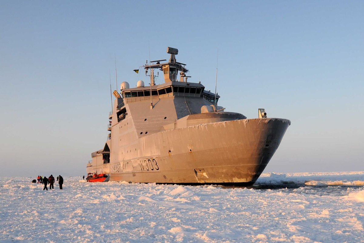
Space Norway has announced a successful demonstration of satellite-based maritime data services during a recent Arctic expedition. The tests, conducted aboard the Norwegian Coast Guard vessel KV Svalbard, took place while the ship was en route to the North Pole, marking a significant step toward extending maritime communication capabilities beyond the reach of coastal radio networks.
The announcement, made on November 18, confirms that the vessel received validated Automatic Identification System (AIS) position data and collected onboard weather observations using the VHF Data Exchange System (VDES). This technology is designed to provide a low-speed, two-way communication channel for ships, particularly in remote regions like the Arctic where traditional shore-based infrastructure is unavailable.
Collaborative Arctic Testing
The trials were carried out in partnership with the Nansen Environmental and Remote Sensing Center, a Norwegian research institution specializing in ocean and climate studies. The expedition, which began on August 17, involved scientists, engineers, and students from Norway, Poland, and the United States. Their mission included recovering ocean-observing moorings and deploying floats and ice-tethered instruments in the Nansen and Amundsen Basins, according to a Norwegian Armed Forces account published on August 21.
While the Armed Forces report provides context for the voyage, it does not include details on the VDES test results, which were disclosed separately by Space Norway.
Understanding VDES Architecture
VDES is an integrated system defined by ITU-R Recommendation M.2092-2, issued in February 2026. It combines AIS for vessel identification and position reporting with Application-Specific Messages (ASM) and VHF data exchange capabilities, both terrestrial and satellite-based. This layered approach allows ships to transmit and receive a broader range of data than traditional AIS alone.
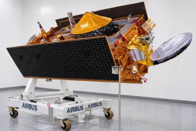
Space Norway envisions VDES as a complement to existing maritime communication systems, offering a reliable backup and extending coverage to polar regions where geostationary satellites have limited visibility. The company notes that compatible VDES equipment can utilize existing maritime VHF antennas, though vessels will need appropriate receivers and supporting hardware.
Next Steps and Commercial Outlook
The recent trial focused on validating the reception of AIS data and the collection of weather observations. However, Space Norway has not yet disclosed metrics such as data throughput, delivery success rates, or end-to-end latency. The company also indicates that AIS authentication remains an ongoing area of development, and weather sharing and forecast support are planned as future enhancements.
The project roadmap targets commercial deployment in 2027, with additional trials scheduled for the coming year. For ship operators, the key milestone will be the availability of equipment and services that can reliably carry operational messages during routine voyages, particularly in the Arctic.
This development comes as interest in Arctic shipping routes grows due to climate change and shorter transit times between major markets. Reliable communication infrastructure is critical for safety and operational efficiency in these remote waters, making VDES a potential enabler for expanded maritime activity in the region.
While the evidence so far consists of an operator-reported demonstration and a technical specification, the successful validation of AIS and weather data collection represents a meaningful step toward bringing VDES to commercial reality. Industry observers will be watching for further trial results and the availability of certified shipboard equipment as 2027 approaches.