In a significant step for climate monitoring, the Sentinel-6B satellite has successfully completed its calibration phase, positioning it to assume the role of the reference satellite for global sea-level measurements in January 2027. The announcement, made by NASA on November 16, confirms that the spacecraft passed its initial system checks by October 30, meeting all requirements to serve as the benchmark for other ocean-height missions.
Currently, the Sentinel-6 Michael Freilich satellite holds this critical role, flying 30 seconds ahead of its twin in the same orbit. NASA plans to maneuver the older spacecraft into an accompanying orbit, allowing the pair to collect higher-resolution ocean data together during a period of overlap. This tandem operation is designed to ensure seamless data continuity as the new satellite takes over primary responsibilities.
Calibration and Handover Milestones
The calibration process, completed on October 30, 2026, involved cross-linking Sentinel-6B's measurements with those of its predecessor. This meticulous procedure guarantees that the new satellite's data remains consistent with the long-term record. Following calibration, EUMETSAT released the satellite's non-time-critical (NTC) altimetry data on November 5, 2026, a key milestone in the handover process. The formal transition of the reference role is scheduled for January 2027, marking the culmination of months of preparation.
This handover is part of a legacy that began with the TOPEX/Poseidon mission in 1992 and continued through the Jason series. Each new reference satellite has followed the same ground tracks and flown in close formation with its predecessor, allowing scientists to cross-calibrate instruments and ensure the accuracy of the multi-decadal sea-level record.
Mission Specifications and Instrumentation
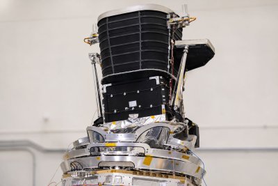
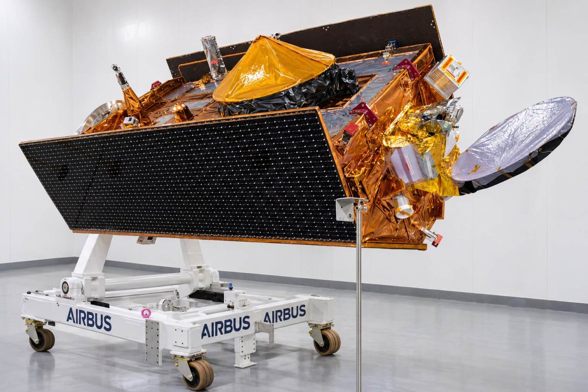
Built by Airbus Defence and Space in Friedrichshafen, Germany, Sentinel-6B carries the Poseidon-4 radar altimeter, which measures sea-surface height by timing the return of radar pulses from the ocean surface. The instrument also provides wave-height and wind-speed data, while a microwave radiometer corrects for atmospheric water vapor. The spacecraft's precise-orbit-determination package is essential for pinpointing its position, enabling detection of subtle changes in ocean height.
The satellite operates in a sun-synchronous orbit at an altitude of 1,336 kilometers with an inclination of 66 degrees, revisiting the same ground track every 10 days. Each satellite in the series has a minimum design life of 5.5 years, ensuring extended coverage of the world's oceans.
Data Utilization and Broader Impacts
Sentinel-6B is designed to observe approximately 90% of Earth's oceans, providing critical data for tracking heat and energy movement, monitoring currents and eddies, and supporting applications such as navigation, search and rescue, and pollution tracking. The mission also contributes to coastal infrastructure planning and improves weather forecasts, including predictions of hurricane intensification.
The Copernicus Sentinel-6/Jason-CS mission is a collaborative effort involving NASA, ESA, EUMETSAT, and NOAA, with funding from the European Commission and technical support from France's CNES. The public release of NTC altimetry data on November 5, 2026, ensures that scientists and researchers worldwide can access this vital information before the official handover.
Looking Ahead
With calibration complete and data flowing, Sentinel-6B is on track to continue the unbroken record of sea-level measurements that began over three decades ago. This continuity is vital for understanding the impacts of climate change, as rising sea levels pose significant risks to coastal communities and ecosystems. The successful handover will ensure that scientists have the high-quality data needed to inform policy and adaptation strategies for years to come.